Abstract
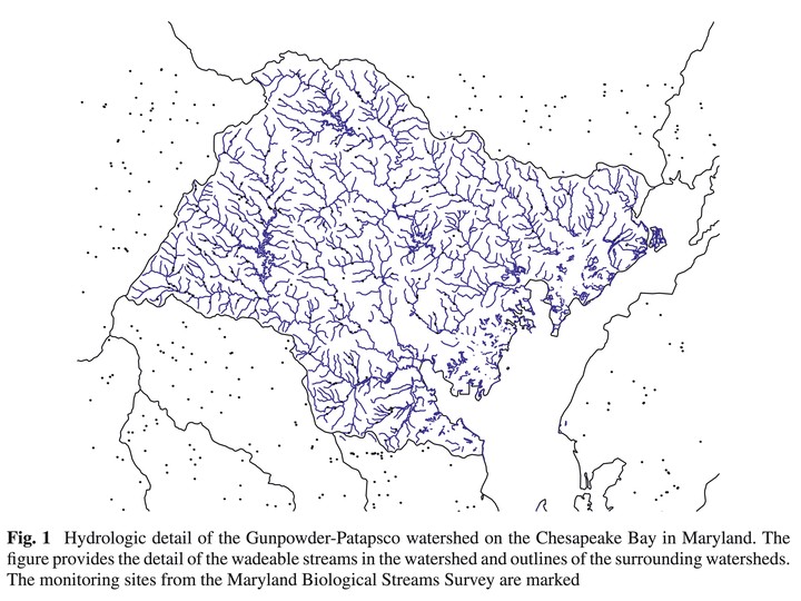
Evolutionary improvements in Geographic Information Systems (GIS) now routinely allow the management and mapping of spatial-temporal information. In response, the development of statistical models to combine information of different types and spatial support is of vital importance to environmental science. In this paper we develop a hierarchical spatial statistical model for environmental indicators of stream and river systems in the United States Mid-Atlantic Region by combining information from separate monitoring surveys, available contextual information on hydrologic units and remote sensing information. These models are used to estimate the indicators throughout the riverine system based on information from multiple sources and aggregate scales. The analysis is based on information underlying the Landscape Atlas of the mid-Atlantic region produced by the US Environmental Monitoring and Assessment Program (EMAP). We also combine information from two overlapping separate monitoring surveys, the EMAP Stream and River Survey and the Maryland Biological Streams Survey. We present a general framework for comparative distributional analysis based on the concept of a relative spatial distribution. As an application, the spatial model is used to predict spatial distributions and relative spatial distributions for a watershed.